 vesseltracker.com
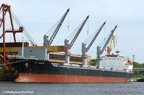
Vessel BOSHI 57 IMO: 9316957, MMSI: 352001750 Bulk Carrier
UTC, 31.99415, 120.00253, course: 321, speed: 0
UTC, 31.99418, 120.00253, course: 321, speed: 0
2026-03-05 15:05:43 UTC, 31.99423, 120.00250, course: 322, speed: 0
Live Vessel BOSHI 57 Analytics (details, animations, etc.)
Live AIS position: UTC. Near Taixing), updated 2026-03-05 15:05:43 UTC.Find the position of the vessel BOSHI 57 on the map. The latter are known coordinates and path.
marine traffic ship tracker show on live map
The current position of vessel BOSHI 57 is 31.99423 lat / 120.00250 lng. Updated: 2026-03-05 15:05:43 UTCCurrently sailing under the flag of Panama
BOSHI 57 built in 2006 year
Deadweight:
29828 tDetails:
Last coordinates of the vessel:
UTC, 31.99418, 120.00253, course: 321, speed: 0UTC, 31.99415, 120.00253, course: 321, speed: 0
UTC, 31.99418, 120.00253, course: 321, speed: 0
2026-03-05 15:05:43 UTC, 31.99423, 120.00250, course: 322, speed: 0